Bay of Bengal — Coastal Dynamics
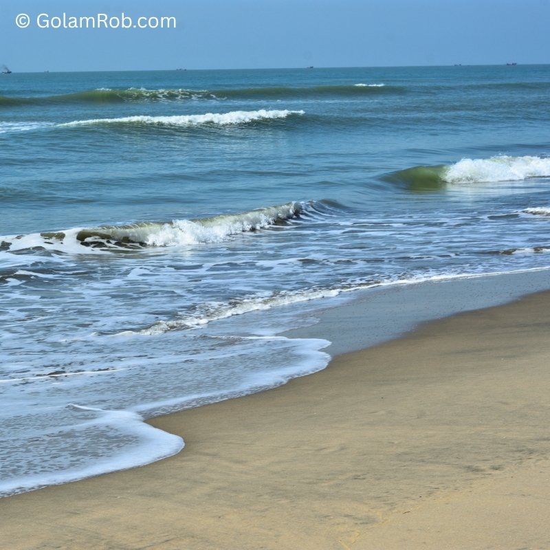
1,500+ ground images capturing wave patterns, coastal erosion, sedimentation, and fishing activity along the Cox's Bazar coastline.
The only ground-truth coastal dataset of its kind in Bangladesh.
One-time payment · Commercial AI license included
Invoice available · 30-day money-back guarantee · Secure payment
Payment currently via email invoice. Self-serve checkout via Stripe coming soon.
Dataset Specifications
Dataset Preview

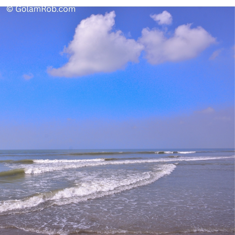
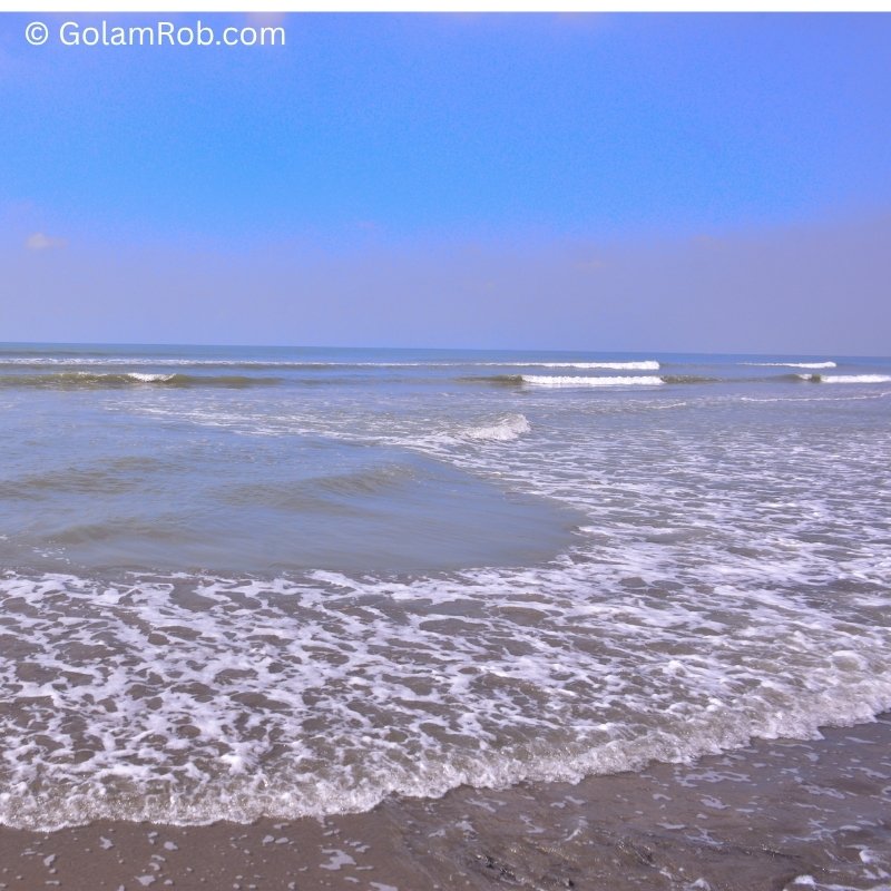
All images watermarked. Full-resolution files delivered upon purchase.
Annotation Visualization
COCO Polygon Overlay
Each image includes polygon segmentation masks for 6 object classes.
Load COCO JSON — Python
import json
import cv2
import numpy as np

# Load COCO annotations
with open('annotations.json') as f:
    coco = json.load(f)

# Get image info
img_info = coco['images'][0]
print(f"Image: {img_info['file_name']}, {img_info['width']}x{img_info['height']}")

# Get annotations for this image
anns = [ann for ann in coco['annotations'] if ann['image_id'] == img_info['id']]
print(f"Annotations: {len(anns)} objects")
Ready-to-use with Detectron2, YOLO, and segmentation models.
Who Is This Dataset For?
Flood AI Researchers
Timelapse coastal imagery for flood prediction and risk assessment models.
Coastal Erosion Modelers
Ground-truth erosion patterns for geospatial and climate change models.
Marine Biodiversity CV
Fishing activity and marine ecosystem monitoring for conservation AI.
Need Custom Classes or Locations?
As a PMP®, I run 30‑day Data Sprints in coastal Bangladesh. You define the objects, locations, and time. My team delivers production-ready datasets.
Get Your Free Sample Dataset
50 images from Cox's Bazar coast. Test with your model before buying.
Work email required. Instant download. No spam.
Contributor Partner of
Golam Rob (PMP®) – Authorized contributor across global visual marketplaces.