Environmental Time‑Series Dataset
Bakkhali River Delta, Bangladesh · 2024 – 2026
The only verifiable ground‑truth for coastal climate AI. Not stock photos. Scientific infrastructure.
PMP® managed · 3‑year time‑series · 250k+ NEF+JPG · 3D GPS
3 Years
Time‑Series (2024–2026)
Daily tidal & water lily cycles
250k+
NEF+JPG Images
PMP® managed curation
3D GPS
Timestamped ±1.5m
Geotagged every frame
Datasets from $490 · Full time‑series available · Commercial license included
Get Your Free Sample
50 high‑res images (NEF+JPG) from Bakkhali River Delta — with GPS coordinates.
No spam. Instant download link via email.
What's Inside the Dataset
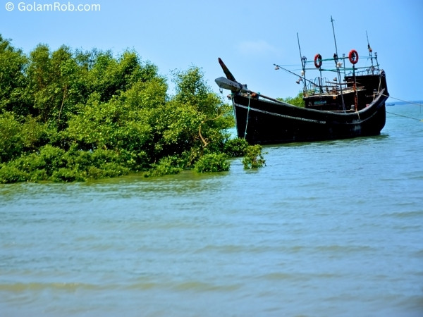
Bakkhali River, wooden boats, fishing ghat, riverbank life — full coverage.
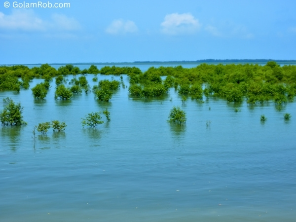
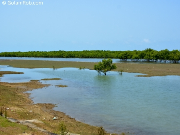
Mudflat, crabs, tidal patterns, water lilies, water hyacinth — macro + landscape.
Fishermen, riverbank daily life, storm‑damaged houses, village roads — real moments.
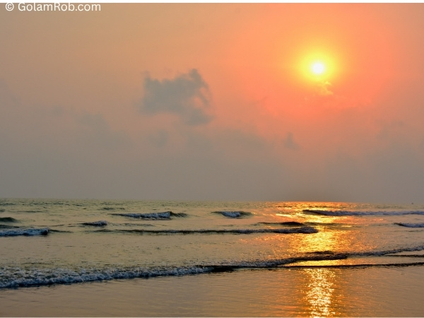
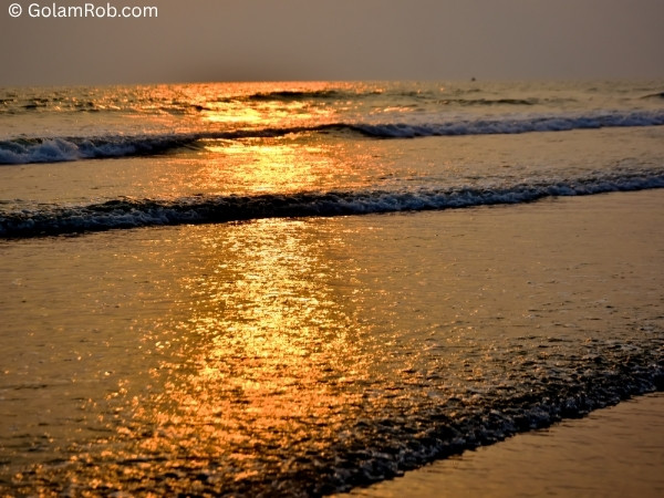
Wind turbines, rice fields, Bay of Bengal waves, sediment dynamics — renewable energy + natural landscape.
250,000+ NEF+JPG · 3D GPS · 3‑year time‑series · daily tidal and water‑lily cycles
Connect on Professional Networks
Featured Datasets
View All →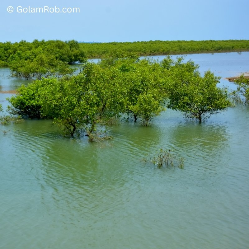
Bakkhali River — Tidal Cycle Pairs
2,000 paired High Tide vs Low Tide images. COCO annotations, 3D GPS.
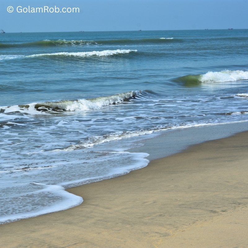
Bay of Bengal — Coastal Dynamics
1,500+ ground images. Wave patterns, erosion, fishing activity.
Latest from the Blog
View All PostsThe End of Stock Photography?
Why photographers must evolve from content creators to visual data engineers.
Escaping the Exhaustion of Sorting Thousands of Photos
How I used Python and AI to automate image quality control.
Need Data That Doesn't Exist?
As a PMP®, I run 30‑day Data Sprints in coastal Bangladesh. You define the classes, locations, and time. My team shoots, annotates, and delivers production‑ready datasets.
Contributor Partner of
Golam Rob (PMP®) – Authorized contributor across global visual marketplaces.